we make map your ideas
UAV Turkey is a leading provider of international drone rental and aerial solutions, delivering advanced unmanned aerial services across Turkey, the Middle East, Africa, Asia, and the Balkans. With a fleet of cutting-edge drones and a team of certified professional pilots and operators, we serve a wide range of industries and missions with precision, safety, and excellence.
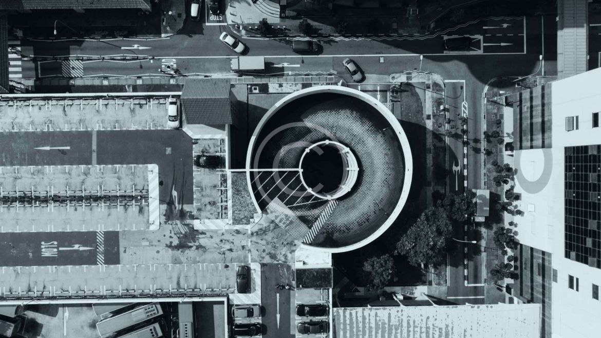
🔧 Our Services Include: Drone Rental with Professional Operators Access our high-end drone systems with experienced, licensed UAV pilots trained for various environments and missions. Aerial Imaging & Video Production We provide ultra high-resolution aerial photography and cinematic-quality videography for media, film, marketing, real estate, and events. Mapping & Surveying (Photogrammetry) Using advanced multispectral and LiDAR-equipped drones, we conduct accurate 2D and 3D mapping for agriculture, construction, mining, and land management. Thermal & Multispectral Inspections Ideal for energy audits, infrastructure inspections, agriculture health analysis, and surveillance missions. Search and Rescue (SAR) Operations Deploying thermal and zoom drones for emergency situations, disaster response, and live reconnaissance support. Tactical & Security Support Missions Discreet and secure drone support for military, police, and private security operations, including perimeter surveillance and threat detection.
📋 Legal Compliance & Flight Management UAV Turkey strictly adheres to Civil Aviation Authority regulations in all regions of operation. We handle: Drone flight permits and local airspace authorizations Liability insurance and all required drone registrations Compliance with safety protocols and legal standards for commercial drone use
🚁 Technology You Can Rely On Our fleet includes the latest in drone technology: 4K/6K Ultra HD cameras Multispectral sensors for agriculture and environment monitoring Thermal cameras for heat mapping and emergency scenarios High-powered zoom lenses for remote inspections RTK GPS modules for centimeter-level precision Live broadcast capability for real-time mission support
🌐 Why Choose UAV Turkey? Regional expertise across EMEA and Asia Multilingual support and localized teams End-to-end service: from planning and permits to post-production Rapid deployment in challenging environments Professionalism, discretion, and mission-first mentality
📞 Contact Us Today
🇹🇷 Turkey: +90 545 210 81 31 🇲🇪 Montenegro: +382 673 24 699
📧 Email: contact@uavturkey.net
🌍 Web: www.uavturkey.net
UAV Turkey – Let’s Take Your Mission to the Sky.
.
Our packages
We provide services in areas such as lands, agricultural areas, geological research, oil lines, regional analysis, mining, construction, building, base station.
We shoot in desired formats for scanning with our special RTK system devices.
Rental RTK Drone Turkey - Contact us for detailed information.
All packages include a 0:45 – 1:20 min professionally edited video with music and animated transitions.